


Weather Warning: Storm Callum roads advice
Devon County Council is urging people across the county and particularly in the south west of Devon and Dartmoor to prepare for disruption on the county’s roads caused by high winds, surface flooding and debris today (Friday 12 October) and over the weekend.
There could be a total of up to 40mm of rainfall on Friday and Saturday (12 – 13 October) in southwest Devon and up to 14mm on the south and southwest facing slopes of Dartmoor.
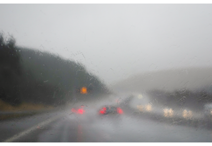
The heaviest rain is expected from midnight Friday to Saturday evening. People are advised to avoid exposed coastal areas and are strongly advised not to go wave watching.
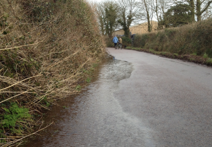
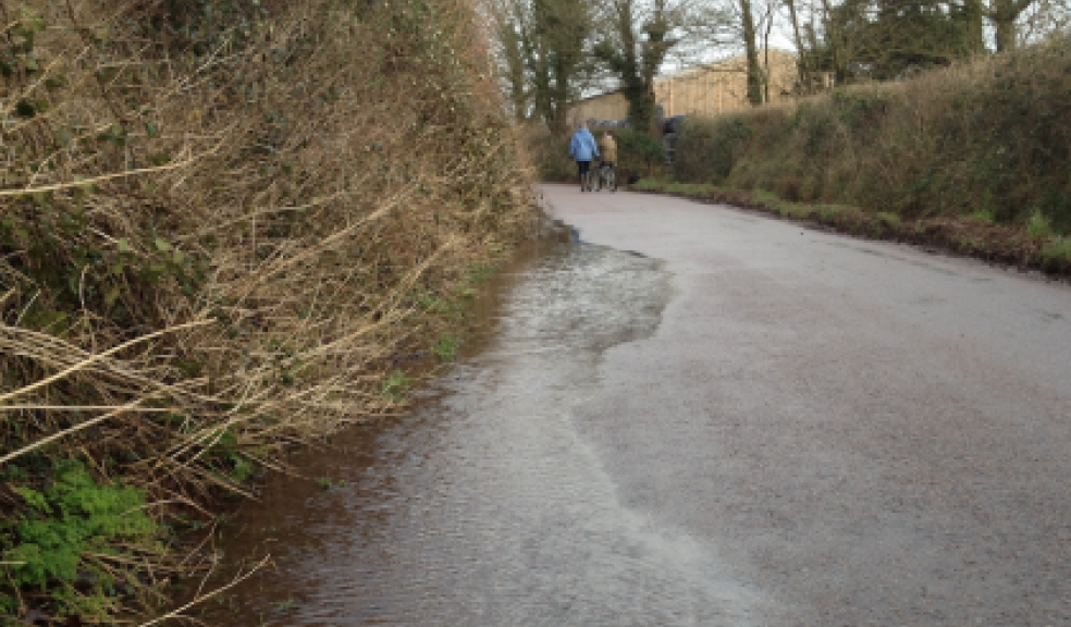
The County Council is warning people to be alert to the possibility of falling branches, fallen trees and landslips, especially on rural roads and coastal routes, and to take care on exposed bridges. Drivers are advised to stay on the major road network if possible.
Councillor Stuart Hughes, Devon County Council Cabinet member for Highway Management, said: “With the stormy weather forecasted, travelling conditions may be difficult across the county but especially in the southwest of the county.
“It could cause delays and disruption overnight, tomorrow and Sunday. Drains may not be able to cope with high levels of rainfall, so I would urge everyone to be wary of the possibility of surface water, longer journey times, and possibly the closure of some routes.
“Please remember not to attempt to drive through closed roads or floodwater and, if conditions are stormy, please keep away from exposed coasts. Motorists should drive with caution and remember in wet conditions stopping distances will increase. If people need sandbags they should contact their local district or town council.”
For more information on flooding, roads and travel advice follow Twitter follow @Devon Alert.
The five day forecast for Devon is as follows:
Today:
Very windy today with widespread gales. Heavy and persistent rain will affect most parts during the morning, but rain should turn lighter for a time during the afternoon. Maximum temperature 19 °C.
Tonight:
Heavy rain will quickly spread across the region again during the evening and it will stay windy, cloudy, wet and very mild overnight. Minimum temperature 15 °C.
Saturday:
Another windy day with heavy rain at times and possible flooding in the west. Some brighter interludes are possible in the east and despite the wind, it will be warm. Maximum temperature 21 °C.
Outlook for Sunday to Tuesday:
Rain and wind eases on Sunday leaving a largely dry day. Dry start Monday, winds increasing later with a chance of rain. Windy Tuesday with rain followed by showers.