


High winds and heavy rain batter Devon
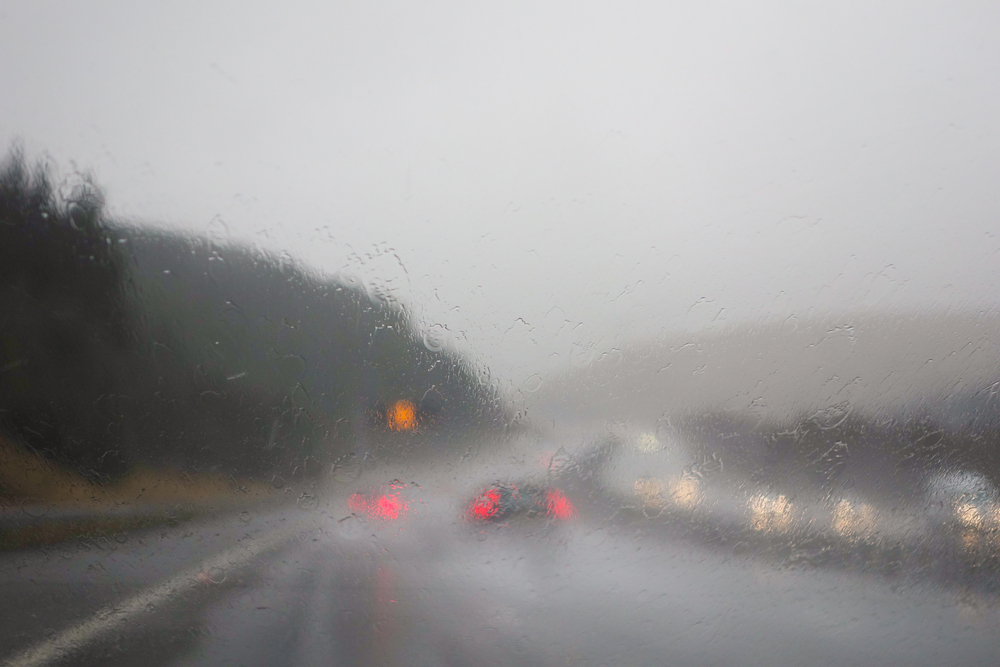
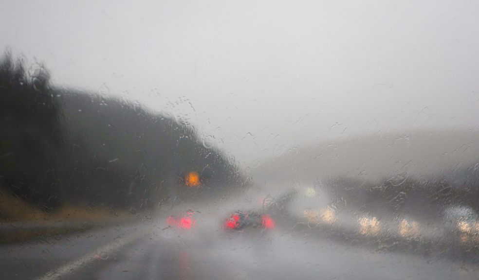
Motorists are being warned to take care on Devon’s roads today as heavy rain and gale force winds batter the region.
The Met Office has issued a yellow warning for strong winds, and upgraded their heavy rain warning from yellow to amber, valid until 6pm today.
Flooding has been reported across the region, along with fallen trees. Police are advising drivers to take extra care on the roads due to surface water and reduced visibility.
Exeter City’s match against Oxford United has been postponed due to a waterlogged pitch.
Forecasters say 30-40mm of rain is expected quite widely across Devon with 50-70mm on south facing slopes and as much as 80 mm over parts of Dartmoor.
In addition, southerly gales or severe gales are expected, with gusts of 40-50mph inland and locally 65mph over higher ground and south facing coasts.
Tomorrow is going to be a better day with sunshine and showers, however, a yellow warning for wind has been issued for Monday.
The regional forecast for the next five days is as follows:
Tonight:
Rain will gradually clear away to the east, and there will be occasional clear spells, although some light showers will continue. Gales easing, but winds still remaining fairly strong. Minimum Temperature 3°C.
Sunday:
A brighter day with showers and occasional sunny spells, however more persistent rain will arrive from the west in the afternoon, and winds will increase later, with gales likely again.
Maximum Temperature 10°C.
Outlook for Monday to Wednesday:
Showery and very windy weather will continue, with gales or severe gales on Monday. Becoming somewhat drier brighter and less windy on Wednesday, but still feeling cold.
See also: A guide to driving in heavy rain: http://www.theexeterdaily.co.uk/news/local-news/rac-guide-driving-heavy-...