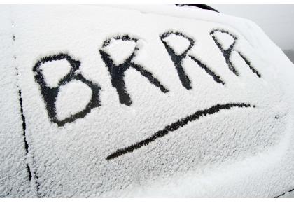


Weather warning of ice for parts of Devon
The Met Office has issued a weather warning as ice is expected to cause disruption to some parts of the region.
The warning is valid until 10am tomorrow (Tuesday) and motorists are warned to take extra care as driving conditions could be tricky.
The Exeter-based agency’s chief forecaster said: “Wintry showers look like lasting a few hours yet, as for example across parts of south west Wales at present, where inland areas are still seeing some snowfall.
“The flow turns to the northeast eventually, taking the bands of showers offshore but then clearing skies are likely to increase the ice risk quite quickly.”
People are warned to be aware of the continued possibility of hazardous travel conditions.
The five day regional forecast is as follows:
This Evening and Tonight:
A mostly dry night with a widespread frost developing again. Some wintry showers are possible during the early hours, these are more likely in the far west, mainly towards Cornwall. Minimum temperature -4C.
Tuesday:
Another cold and largely dry day to come. It will start cloudy, but some sunny spells will develop. Wintry showers will ease, with the best of the brightness furthest west. Maximum temperature 4C.
Outlook for Wednesday to Friday:
Remaining cold with light east or northeasterly winds and overnight frosts. Staying mostly dry with occasional clear or sunny spells. Isolated snow showers are possible at times.