


Met Office issues weather warning of ice
A weather warning of ice has been issued for parts of Devon as temperatures are set to drop tonight.
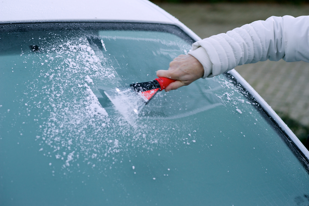
The Met Office said ice is likely to form on untreated surfaces during Friday night and early Saturday morning, particularly where showers have occurred during Friday. The showers will fall as sleet or snow over hills and to low levels in the north.
People are advised to take extra care.
The warning is valid from 5pm until 11am tomorrow.
A chief forecaster said: “A band of rain, with hill snow, will move south across northern and central parts of the UK during Friday, followed by showers which will become confined to the north and west overnight.
“The showers will fall as snow over hills and even to low levels in the north. Clearing skies will allow the temperature to fall below freezing with ice a hazard on untreated surfaces.”
The forecast for the weekend is as follows:
Saturday:
A cold and frosty start with icy stretches, and perhaps isolated mist patches in the east. Isolated showers soon clearing leaving it dry, sunny and crisp with light winds. Maximum Temperature 8C.
Outlook for Sunday to Tuesday:
Winds increasing with showery rain moving east Sunday. Starting drier Monday with winds easing, but then becoming cloudy with rain moving across the region. Further strong winds and rain Tuesday.