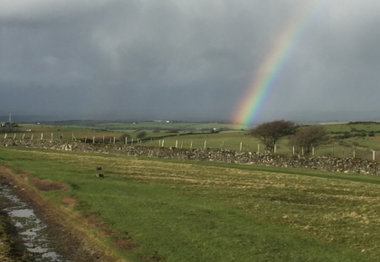


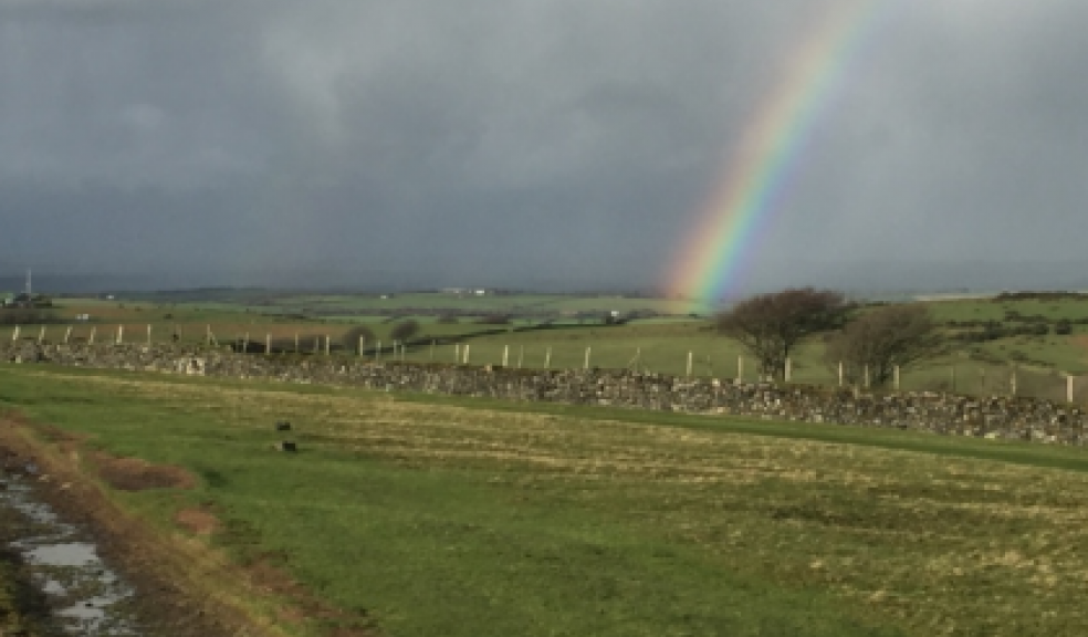
Weather warning for rain issued for Devon
A yellow weather warning has been issued by the Met Office for Devon.
Outbreaks of rain, heavy at times, will affect some areas today (Tuesday), with an increasing risk of heavy, thundery showers breaking out during the afternoon and evening - these perhaps lasting overnight into tomorrow.
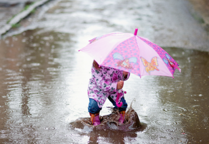
Localised surface water flooding is likely where the heaviest rain occurs.
The warning is valid until 9am on Wednesday.
The Met Office’s chief forecaster said: “A frontal zone will bring spells of rain to many areas today.
“Whilst some of the rain will be heavy, rainfall amounts now look less likely to lead to flooding. However, there is now a greater risk of some heavy, thundery downpours breaking out during this afternoon and this evening.
“Many places will miss these, but where they do occur there is potential for over 25 mm rainfall in a short space of time with an associated risk of surface water flooding, perhaps most likely across southwest England where showers are slower-moving.
“These may last well into the night before slowly clearing away to the west Wednesday morning.
The five day regional forecast for Devon is as follows:
Today:
A mostly cloudy day with showers throughout the day for some. There will be heavy downpours at times, with the risk of turning thundery for some. Drier across Devon through the morning and Cornwall through the day. Maximum Temperature 17 °C.
Tonight:
It will be a mild and damp night with further outbreaks of rain, which again will turn heavy at times. Minimum Temperature 10 °C.
Wednesday:
A cloudy and mostly dry start, but turning brighter through the morning. Still the risk of the odd heavy or thundery shower in the afternoon. Maximum Temperature 19 °C.
Outlook for Thursday to Saturday:
Turning drier on the whole, though still with the odd heavy shower possible on Thursday and Friday. It will be turning windy, but staying warm until Saturday.