


STORMS UPDATE: Homes evacuated...Roads blocked...Power lines down but weather set to improve
Hurricane force winds once again battered Devon overnight and into this morning bringing down trees and power lines.
Residents were evacuated from their homes in Dawlish last night as a precaution and were not expected to be allowed to return until later this morning at the earliest.
Supt Claire Armes told the BBC: "Thirty people have been evacuated from Sea Lawn Terrace as a safety precaution because of high tides and strong winds.
"The residents have been taken to Dawlish Leisure Centre and Teignbridge Council is sorting out their accommodation."
Supt Armes said there would be a site visit with Network Rail and building controllers today (Saturday) at 09:00 GMT.
"A decision will be made after the visit as to when people will return," she added.
Today Ten Tors teams were warned of hazardous conditions as they prepared to set out.
Western Power Distribution said 5,000 homes across the South West were without power today after gusts of up to 90mph were recorded overnight.
A spokesman for the company added: "Some power lines are being damaged by fallen trees, branches and other wind-borne debris which are affecting power supplies to some of our customers.
"Our engineers continue to work tirelessly to restore power to homes and businesses in what are again extremely challenging conditions. Our priority is always to restore customers as quickly as possible."
More information is available via the company's website and twitter account @wpduk
Dozens of trains have been cancelled after Network Rail declared the tracks unsfafe and last night replacement buses were also cancelled leaving many people stranded.
The line between Exeter and Newton Abbot remains closed due to the sea wall collapse at Dawlish, as does the line between Taunton and Bridgwater due to flooding.
A First Great Western spokesman said: "Network Rail has informed us that the damage to their infrastructure at Dawlish will take at least six weeks to rectify depending on the results of further inspection and any additional damage that may be caused by further adverse weather. Normal train services will not be able to run between Exeter St Davids and Newton Abbot while this work takes place."
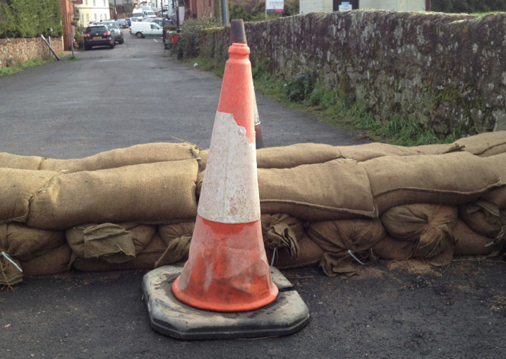
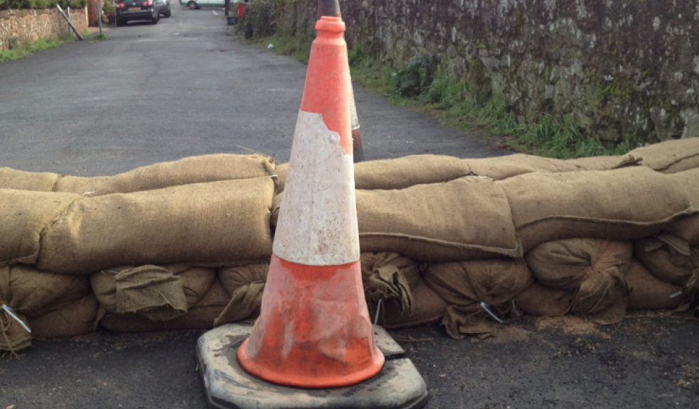
Meanwhile several roads were cut off due to flooding including the A377 between Exeter and Crediton and other routes were blocked due to fallen trees including Heavitree Road in Exeter.
Other incidents included:
* A woman was hit by a car as she filled up with petrol at the garage on Haldon Hill and was taken to hospital.
* There were power cables on Burgmanns Hill in Lympstone between the Church Road junction and the Meeting Lane junction.
* The B3172 Axmouth Road in Seaton was blocked near the Trevelyan Road junction, because of a fallen tree.
* There was flooding on A35 between the A30 junction in Honiton and the B3261 junction in Axminster.
* One lane was blocked on the A380 Telegraph Hill southbound between the A38 Haldon Hill junction in Kennford and the B3192 junction in Ashcombe, because of a fallen tree.
Elsewhere, an 85-year-old male passenger died after a freak wave hit a British cruise ship in the English Channel and a woman was killed after a building fell on a car in central London.
The building collapsed at around 11.05pm on Friday opposite Holborn Underground station, the Metropolitan Police said.
This morning the Met Office offered a glimmer of hope saying the weather was set to improve.
A spokesman said: "Following a 'multi-pronged attack' of heavy rain, hill snow and severe gales on Friday the weather is expected to gradually improve through Saturday leaving a better day on Sunday.
"Friday's rain will be followed by heavy and squally showers across southern Britain overnight into Saturday. These will be driven along by severe gales with gusts of around 60 mph inland and perhaps 80 mph in exposed areas along the coast. These potentially damaging winds could bring further travel disruption from fallen trees.
"These severe gales could also bring hazardous conditions along the coast and people should stay away from promenades and sea fronts as they could be swept away by large waves or hit by debris."
Darron Burness, head of the AA's severe weather team, said: "Many people will be travelling for half-term next week but with conditions as they are, try to travel within daylight hours when it's easier to spot flooding and other hazards on the road.
"It's also pretty tiring driving in poor weather, so break up any journey more than three hours long. Check the Met Office weather alerts before heading out and keep tuned to local radio for all the traffic updates. In case you get stuck, at the very least, take plenty of warm, waterproof clothing, an atlas or sat-nav and a fully-charged mobile."
"During this period of unsettled weather, people are advised to stay up to date with the latest Met Office forecasts and National Severe Weather Warnings and find out what to do in severe weather so they can plan ahead for the weather in store."
The Met Office forecast for the next five days is as follows:
Today:
Gales, locally severe around coasts at first, will slowly ease through the day but it will remain windy. Showers will become confined to eastern counties but may still be heavy at times. The driest, brightest weather likely in the west. Maximum Temperature 10 °C.
Tonight:
A few showers are possible in eastern counties at first, otherwise a dry night with clear spells developing and winds easing. Becoming cold, with frost patches forming. Minimum Temperature 0 °C.
Sunday:
A cold start, then dry and bright for much of the day with light winds. Cloud increasing from the west through the afternoon, with outbreaks of rain spreading eastwards later. Maximum Temperature 10 °C.
Outlook for Monday to Wednesday:
Wet and windy on Monday, this clearing overnight to become much drier and brighter on Tuesday and Wednesday with sunny spells. Further rain arriving from the west later Wednesday.