


Storms cause flooding and travel disruption
Heavy rain and thunderstorms caused flooding and travel disruption across Exeter and East Devon this morning.
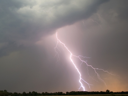
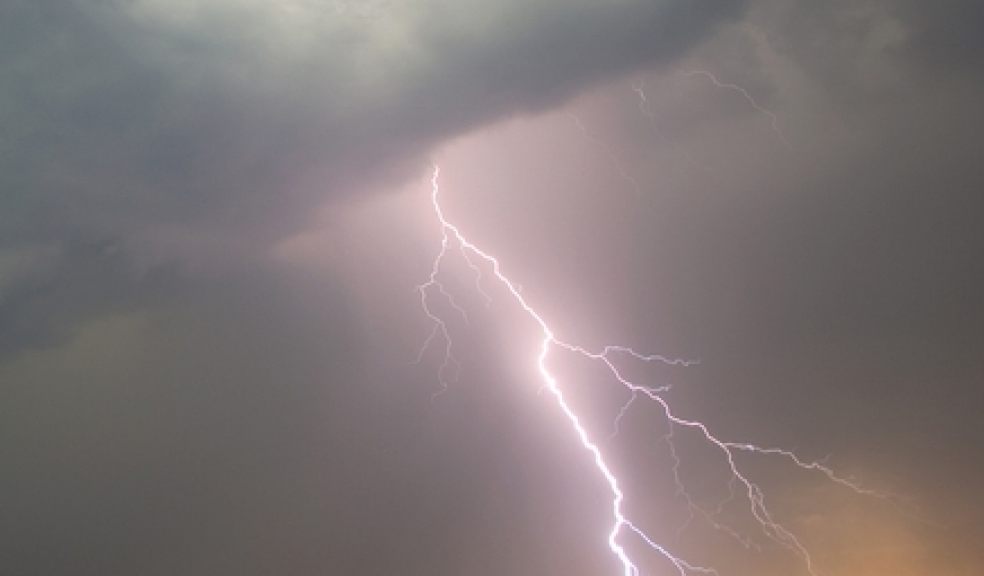
In Honiton a lightning strike caused a fire at a property in Stout. Two fire engines from Honiton and one from Sidmouth attended just before 8am.
Two hose reel jets and four breathing apparatus were used to extinguish the fire. The cause of the fire was a lightning strike on the property.
In Dawlish fire control received around six calls to reports of flooding inside properties due to heavy rainfall.
One fire engine from Dawlish and one from Teignmouth were sent to deal with these incidents. On arrival crews confirmed that there were several flats involved in the flooding. Crews assisted in removal of the water.
Traffic was slow on Honiton Road and Heavitree Road in Exeter due to the volume of rain raising manhole covers.
There are reports of flooding in Tipton St John on the B3174 Barrack Road between Thorne Farm Way and the B3177 Gold Street and heavy flooding reported through Newton Poppleford with the road only just passable in places. The A376 Exeter Road in Exmouth is partially blocked due to flooding.
The extreme weather has also caused major problems for Exeter police, with all 999 calls being routed to Crownhill after a lightning strike damaged a mast at Middlemoor.
A police spokesman said: “Due to extreme weather conditions this morning a lightning strike has damaged a mast at Police HQ Middlemoor.
“This has caused significant disruption to telephony services within the Control Room at Police HQ.
“As a result in order to keep disruption to a minimum all telephone calls to police will be diverted to the Plymouth control room where they will be answered.
“All 999 calls will be answered as a priority.
“It is requested however that the public keep telephone contact to a minimum and that non urgent contact is made through the Force internet service until normal service is resumed.
“With public assistance we are confident that these measures will result in minimal disruption to the public and service provision.”
The Met Office have issued a yellow warning of rain which is in place until 11.45 tonight.
Heavy showers and thunderstorms are likely to continue northwards on Friday morning - the risk then continuing through the rest of the day.
Many places will miss these but the public should be aware of the potential for isolated disruption due to surface water flooding, lightning strikes and hail.
The Met Office’s chief forecaster said: “A warm and humid airmass covers southern Britain at present. This is already becoming increasingly unstable and producing a few thunderstorms through Thursday, but these are expected to become more widespread overnight into Friday and extend further north into the Midlands and Wales.
“Many place will miss the worst of these - some may stay dry - but where they do occur, 20-30 mm rain may fall in a short time, leading to some surface water flooding, whilst lightning and hail may be additional hazards.”
Tomorrow’s forecast:
Mist and low cloud will clear during the morning, with bright or sunny spells developing. Many places will stay dry throughout, however a few heavy, thundery showers are possible. Maximum temperature 22c.
Outlook for Sunday to Tuesday:
Mainly fine throughout with plenty of dry and bright weather. It will feel fresher than of late, despite further spells of sunshine and light winds. Cooler by night.
* Update: 4pm - The telephone system has been completely restored at police headquarters in Exeter following work by BT emergency engineers.