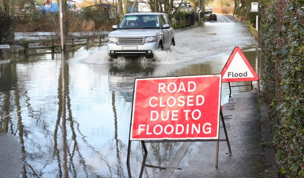
Devon on alert for heavy rain and flooding
Forecasters have issued a severe weather warning for Devon as a period of changeable and potentially disruptive weather heads for the UK.
Rain will become heavy and persistent at times during Tuesday and into Wednesday, and will be accompanied by south or southwesterly gales and possibly severe gales at times
The heaviest rain and strongest winds are likely to occur in two main bouts - one late morning and afternoon on Tuesday and another Tuesday night into Wednesday, before clearing to the southeast on Wednesday afternoon.
The Environment Agency has warned communities to be prepared for possible flooding and disruption to travel due to the heavy rain and high tides.
Clare Dinnis, National Flood Duty Manager at the Environment Agency, said: “With heavy rain and high tides this week, people in Devon and Cornwall need to be prepared for the risk of flooding.
“We will issue flood warnings and alerts where necessary as rivers respond to the rainfall. This could also cause drains to overflow, so people need to be ready for flash flooding in some places.
“Environment Agency teams are already out checking flood defences, clearing trash screens and blockages in watercourses and culverts.
“Disruption to travel and some flooding of low-lying land and individual properties is possible.
“We urge people to take care near coastal paths and promenades, and not to drive through flood water.”
People should check their flood risk and keep up to date with the latest situation at https://www.gov.uk/check-if-youre-at-risk-of-flooding or follow @EnvAgency and #floodaware on Twitter for the latest flood updates.
The five day regional forecast for Devon is as follows:
Today:
Dry and bright at first in the south and east. Rain in the northwest then moves south-eastwards, heavy over northern and western hills but patchier in the southeast, blustery showers in the north later. Windy with gales in many areas.
Tonight:
Remaining wet and windy for southern England and Wales. Further heavy rain spreads across Northern Ireland and parts of Scotland overnight, snow possible in Scotland. Drier and windy elsewhere.
Wednesday:
Rain in the south clearing all but the far southeast. Rain and snow over Scotland clearing. Colder, windy, showery conditions follow, showers wintry in the north.
Outlook for Thursday to Saturday:
Cold, sunny to start on Thursday, wet and windy from the west later. Remaining wet and windy on Friday, heaviest in the west. Colder, brighter showery conditions spreading south Saturday.


